Main site

HomePage
Index Page
Contact us


Our Feedback

Meet our Volunteers
In Memoriam
Links

Volunteer Page Index
Learn about our Preservation Project

Our Progress in 2017 Some Townships have become mixed up due to site mechanics

Learn about our Project's Progress and Targets

Restoring Cemetery Areas

Learn How to Fix Up Your Own Plot
Our Experiences on how to Restore / Preserve a full Cemetery

Maple Leaf and St Anthony's Cemeteries Chatham City

History

Only a few of the Historical Monuments here.
A Tour of Maple Leaf and St Anthony's Cemeteries
A Time Line of M/L and St. Anthony's Cemetery
Other history - Memorial Field, Buildings, An Old Funeral, etc.
Historic Documents regarding cemetery history.

Find a photo of a Monument

Our Gallery - M/L and St A's where Photographs are stored.
Find a Stone Index Maple Leaf
Find a Stone Index St Anthony's
Memorial Field. (Soldiers)
Videos by our Volunteers

How to find a Monument

Maps of Maple Leaf and St Anthony's

Special Interest

Cemetery Angels, Cemetery Terms, and Monument Makers

Gallery and Photo Areas

Our Gallery
Videos
How To Post Photos In Our Gallery

Other Cemeteries of Chatham-Kent

History of our Other Cemeteries

Historical and Other Information on Other Cemeteries.

General Documentation of our Other Cemeteries

Maps, Ownership, and General Information on Other Cemeteries
Some Cems near C-K border possibly containing C-K family burials

Find a Photo of a Monument

Our Gallery - Other Cemeteries - where Photographs are stored.
Find a Stone Areas of Other Cemeteries

How to find a Cemetery

Map and location charts of Other Cemeteries


This site was founded by the late John Skakel. Contact us HERE
Cemeteries Office Staff have asked that users NOT contact them with questions directly.

The Hartley Cemetery
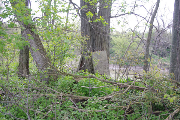

The Desecrated Hartley Cemetery.

Please Note... To get to this cemetery from the road you will need to ask permission from the farm owners. You can also get to it by hiking the river bank or by canoe or boat.

This cemetery was considered unknown and destroyed until it was found to still exist in 2012. It is located just outside of Kent Bridge driving toward Thamesville on the bank of the Thames River.

Cemetery is very near the corner of the farm on the river by the row of evergreen trees.

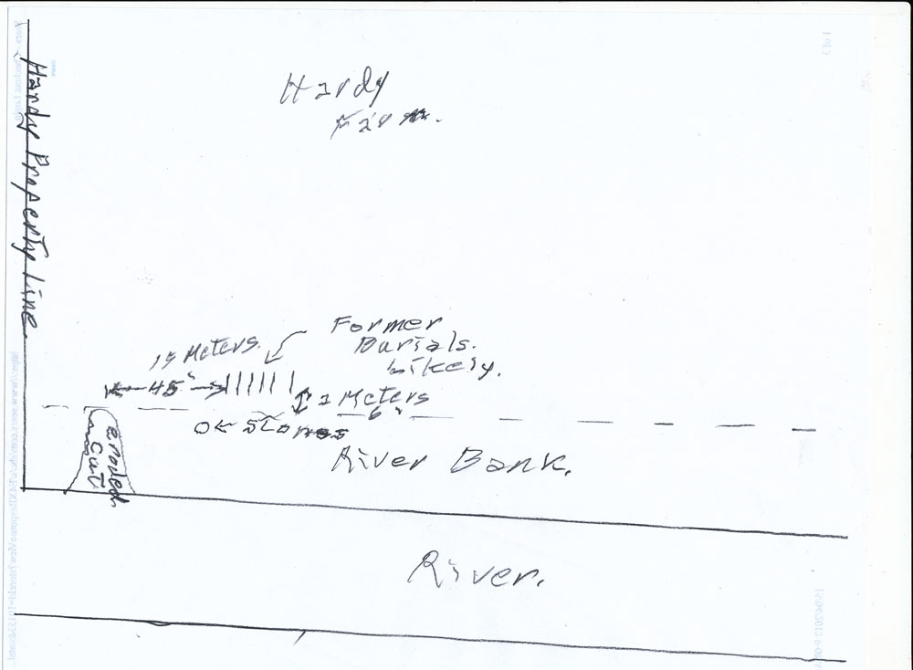
Dousing seemed to indicate about 6 or 7 graves about 2 meters (6 feet) into the plowed area of the farm and about 15 meters (45 feet) across from the erosion cut from the river into the farm. However, the cemetery may be larger. Since this is private property we would need permission to enter to do further research on that.

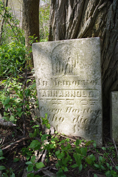
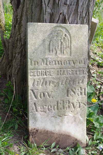
The stones were visibly moved against the tree. There is no sign of the bases. It MIGHT be that this ground was plowed and the bases never moved. This is unlikely though where else would they be?

The stones were not purposely broken etc. Although the cemetery has been destroyed, the present owners have taken the time and care to preserve the stones by leaning them against a tree.