| This site was founded by the late John Skakel. Contact us HERE
Cemeteries Office Staff have asked that users NOT contact them with questions directly. The Everitt (or Julian) Cemetery History
With Thanks to Doug Cudmore
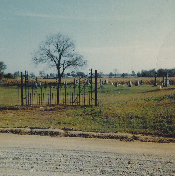
Everitt (Julian) Cemetery near Thamesville in about 1960 prior to Restoration work |
The actual date of origin of the Everitt Cemetery is unknown and probably never will be found again. However, it is known that wooden crosses were found on this location in the late 1700's. There was actually a Church and a School located here later, and that Community became known as Magnavilla. It is thought that the church was located inside the bounds of what is now the cemetery, and the school was located across the Stage Road.
The first farmer to own the land here was named Julian. Land at that time was given out in 400 acre plots but it is not known if he kept all of the 400 acres, and if so how long, etc. However, apparently it seems that the cemetery was kept in tact. In the very early days of the cemetery of course there would have been no roads through the area except for Indian Trails. However, the main method of transportation was by water down the Thames River.
Surveys back in those days extended to the water's edge or even to the middle of the river. The deed here was made to extend North to the middle of the Thames River.
The Church built slightly later (1873) on the burial ground was of the Methodist Episcopal Church in Canada. Rev Samuel Wood's name is mentioned at the time of the land purchase. Later however the old Church building was moved to the Cudmore farm and was used as a barn for many years there. It was mentioned by Doug Cudmore that while a kid, that he could look up at the ceiling of the church and see the fancy wood trim there. (1947) Sensing indicates that the Church's original location was likely just about even with the "Cement cones" that form a barrier on the North corner of the cemetery. The church location can be picked up as being just a few feet to the South West of there, and it was approximately even with the "Cement Cones" themselves as to distance from the road.
During the 1930's and 1940's the cemetery was apparently neglected as so often cemeteries were and fell into a sad state of disrepair. This included a great deal of work on stones, levelling, and planting trees on the site, etc. The trees planted all came from Fysh's bush. The cemetery has existed on a volunteer management - labour system and still does at this time.
In approximately 1947, the road had to be moved back from the river due to cave in problems and safety. It landed up being moved to where it actually runs THROUGH the cemetery now. Indeed today sensing indicates graves right to the river's edge. A great deal of cement and stone have prevented further erosion by the river for now at least. It is known that the cemetery used to end very close to the river. Today we can find what may be burials at right angles to each other there. These are in VERY early parts of the cemetery, and it is possible that this was done before the cemetery existed in any real "Formal" terms. It is also VERY possible that this is false readings due to construction work done on the bank there. It is now very hard to tell where the old road used to originally go and one can speculate on whether the original road actually went through the cemetery itself, as well as the new one. It can I think certainly be considered as a very good possibility that two times roads bisected the cemetery. We can tell from sensing that there are graves extending right to the river's edge, but these edges are now covered by meters of cement and wire to keep the river from doing further damage from erosion.
There are no graves in the low "trough" of land going through the cemetery. However, in the back section VERY near the centre area, only SLIGHTLY closer to the house is a bare area. Sensing indicates that this is a communal burial area. Possibly a "Potter's Field".
It is well worth a walk through the Everitt Cemetery. We greatly encourage you to take the time to walk through it some time to have a look at the very old stones there.
Donations to the Cemetery are very gratefully accepted and are used 100% for cemetery maintenance
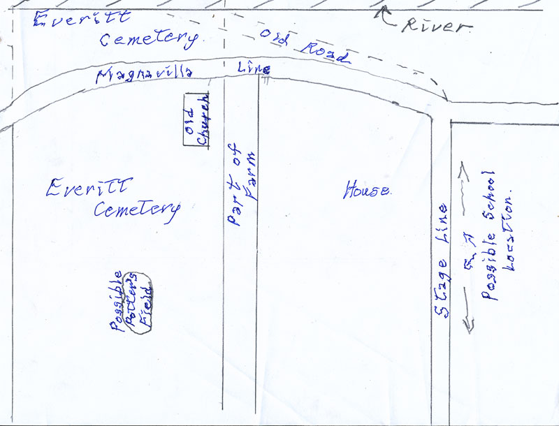
Rough sketch of cemetery showing location of road cut, former church, and possible Potter's Field |
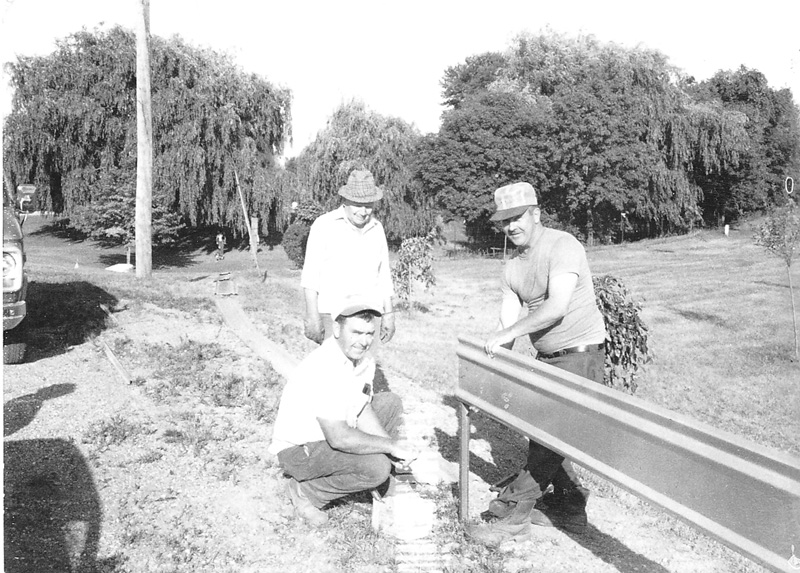
A new fence was erected at Everitt Cemetery in Harwich Township on July 6, 1983 by volunteers.
Pictured here working are Max Fysh, secretary/treasurer of the Cemetery Board with Marvin Cudmore and Glenn Jubenville.
Photograph reproduced with kind permission of Thamesville Herald.
Photograph must NOT be copied without permission of the Thamesville Herald. |
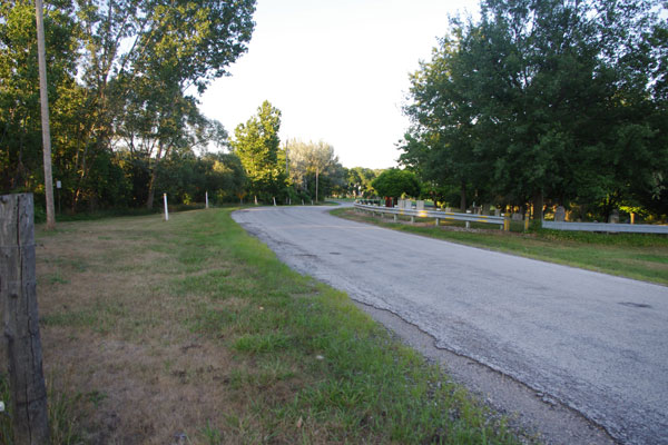
New Road bisecting Cemetery |
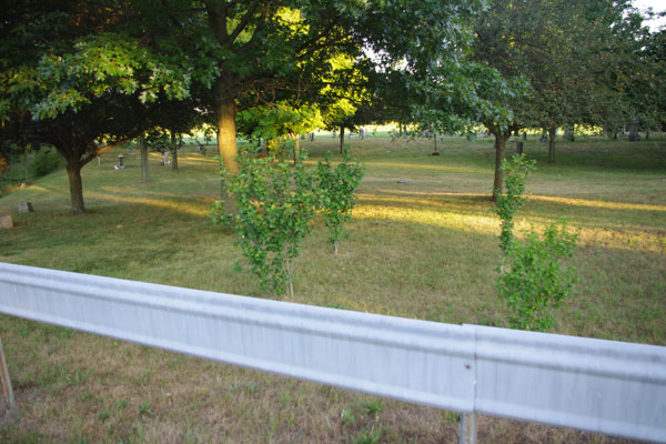
Bushes mark probable location of former Methodist Church |
|